| |
Visualizing data according to location
|
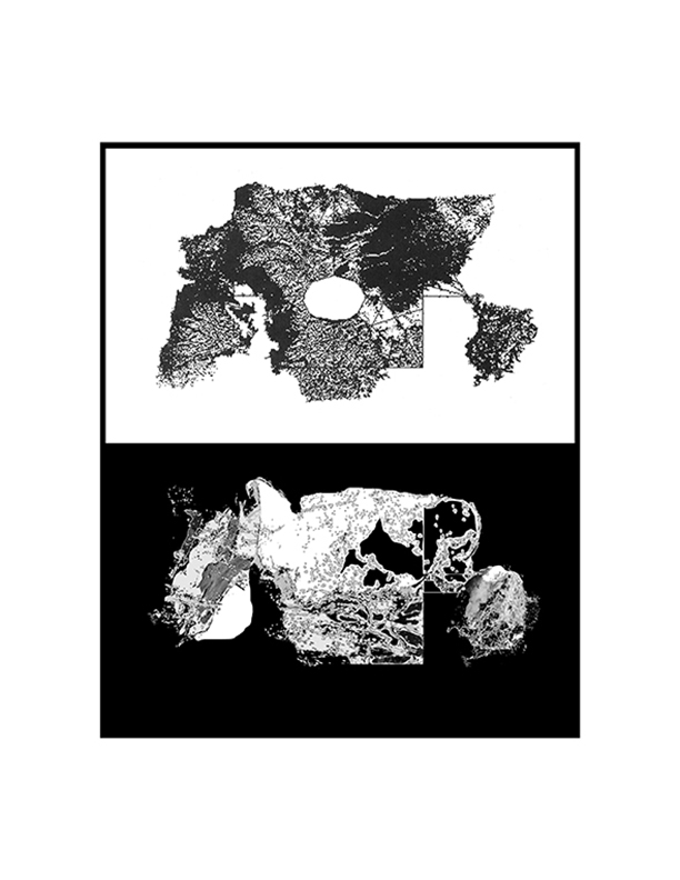
A geographic information system (GIS) visualizes data according to its physical location. A GIS frequently combines point-of-information data (such as an address), terrain data, 3D models of man-made structures, imagery from satellites or aircraft, and real-time sensor data. GIS usually has some capability to perform analytics on a data set and then visually display the results on a 2D or 3D map. Examples of queries would include finding the closest fire hydrant to an apartment building or discovering which warehouses are best suited for rooftop solar panels. GIS allows one to see discrete data sets within the visually-rich context of a map and is designed to help make decisions geographically.
|
Since the 1970’s, Esri, a largely government contract funded and privately held company, has led the development of GIS for businesses and government agencies around the world. For the past decade, however, Esri has lost its technical superiority (and dominant market share) to other easier to use location based data-visualization programs such as Google Earth, Google Maps, Apple Maps, Bing Maps, and the Open Street Map project, that have been combined with widely available GPS devices. Google Earth is perhaps the most widely used GIS program with hundreds of millions of worldwide users.
|
|
Advanced space-based imaging for government funded military and environmental projects has also been a key driver for the adoption of GIS for a multitude of purposes. As every mobile phone user becomes a traceable remote sensor that can be overlayed on a map by marketers and government agencies, the use and importance of GIS is only set to increase. The opportunity for widespread real-time visualization of exabytes of information is now a possibility with the combination of mobile phones and GIS. In tandem with the increasing ubiquity of computers, the role of GIS continues to expand in markets such as environmental land use, energy exploration, public utilities, political redistricting, disaster response, military campaigns, and intelligence targeting. GIS allows the user to continually monitor any asset in a designated area through a variety of means.
|
Conclusions that are larger than the data they are girded with
|
The expansion of GIS applications is happening in the context of the distraction and interruption-rich environment of the Internet. While GIS proposes a contextualized data viewing experience according to location, the reality frequently consists of subjectively chosen data layers that provide an understanding that is so insular, the real world nearly disappears.
|
A map-based visualization program can give the user the impression that more is known about an individual data point than is actually known, especially if viewed from a global perspective;; the user thinks they understand something that is, in fact, barely comprehensible. The threat of GIS is that users infer and extrapolate conclusions from relatively small amounts of data about people, places and other things they know little about.
|
Decisions unknowingly made in a data vacuum
|
Because decisions are made with the authority and neutrality of "data," the GIS interface gives the impression of total information awareness from an unbiased perspective. However, with large, diverse amounts of information delivered at incredible speed, the full implications of a decision are never as simple as a color-coded chart displayed over a map. “Data” has the pretense of truth. There is little room to distinguish between qualified and unqualified data when the GIS end-user is presented with “real data” inside a seductive virtual world.
|
The preeminence of “data” is perhaps a side effect of a pervasive agnostic/atheistic worldview that is staunchly rooted in the presumed objectivity of "science." GIS data visualization can give false impressions and assurances under the guise of objectivity: life and experience that is not quantifiable or mappable does not have a place in this contemporary thought process.
|
|
Like all data visualization, GIS seeks to simplify the communication of complex information. A massive amount of data is hammered into the confines of a small, beautifully bright screen. Global society is generally advancing towards a world of understanding almost exclusively through interfaces. The world is presented to us as normal and predictable in a screen, but we live in a world of irregular situations and non-mapped environments.
|
The myth of unlimited understanding via technology is perpetuated as we discover our surroundings via a screen. In addition to revealing facts about our planet, our search for facts reveals how ignorant we remain of the world we inhabit. In many ways, the GIS-user’s workflow ultimately leads to a further detached relationship with humanity and our environment.
|
Detached Information;; Detached Understanding
|
Our interaction with detached information via maps is one of the key features of our post-heroic age. Drones are presented as semi-rational robots making battlefield decisions via morally neutral “data” while being flown by a pilot at a classified location. The widespread cultural fascination of military Special Forces engaging in a close-quarters assassination is contrasted with how foreign the immediacy of pulling a trigger is while missiles launched by the push of a button is assumed as “normal.” Even our metaphors are detached: highly trained soldiers are treated by the media and government officials as machines that are turned “on” to fulfill their mission like a logically functioning computer program.
|
And it is not only in our military affairs that we have become a society behind a screen. Widespread public adoption of GIS has already begun to alter the way we understand place. Unfortunately, all conclusions tend to look rational when presented as a map in a PowerPoint. As we become a society that increasingly understands the world through mediated spatial projections, we run the risk of having little or no connection to the pain and suffering caused by decisions from afar. A society that suffers from eye strain makes very different decisions than one that feels real exhaustion.
|
| |
| |
| |
 |
| |
| |
| |
 |
| |
| |
| |
 |
| |
| |
| |
 |
| |
| |
| |